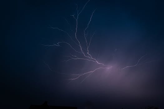
A Tornado Watch has been issued for Central Texas, including Austin and surrounding areas, until 10 PM CDT on May 28th, 2024. The National Weather Service in Austin/San Antonio has placed Travis, Williamson, Hays, Bastrop, Caldwell, and Lee counties under the watch due to the risk of supercell thunderstorms that could produce tornadoes. Severe storms developed west of Austin mid-afternoon, bringing large hail, including some as big as tennis balls, and wind gusts over 60 mph. Doppler radar detected rotation within some storms, prompting the Tornado Watch.
Hays County, particularly around San Marcos and Buda, was hit the hardest, with reports of funnel clouds and minor damage. Local emergency management officials are urging residents to stay informed through NOAA Weather Radio, smartphone apps, and local news. The City of Austin has activated its Emergency Operations Center to Level 2, indicating heightened preparedness. Some schools and businesses have dismissed early to prioritize safety.
The threat isn’t just tornadoes; heavy rain is also raising concerns about flash flooding in low-lying areas and along waterways. The Pedernales River is being closely monitored. Although no tornadoes have touched down in Austin as of 7:00 PM CDT, conditions remain volatile, with more thunderstorms expected through the evening. Residents are advised to avoid travel and seek shelter if conditions worsen. The NWS is tracking the storms and will provide updates and warnings as necessary. Residents should monitor local news, the NWS website, and official social media channels for the latest information.

 06 May 2025
 Share
Share


