
 15 May 2025
 Share
Share
1


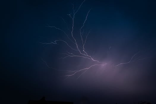
A powerful and dangerous severe thunderstorm outbreak is sweeping across the central United States, affecting areas from eastern Nebraska and Iowa to Illinois, Indiana, and parts of Ohio and Michigan. The National Weather Service has issued multiple severe thunderstorm warnings and watches, reporting damaging winds of over 70 mph, large hail, and isolated tornadoes. The worst of the weather is concentrated in central Illinois and Indiana, where a potent line of storms is moving east at 60 mph, threatening widespread power outages, tree damage, and destruction to homes and businesses. The Storm Prediction Center has upgraded the risk for severe thunderstorms to Level 3 out of 5 in several areas, highlighting the potential for significant damage. Heavy rainfall is also raising concerns about flash flooding, particularly in urban areas with poor drainage. Cities such as Des Moines, Indianapolis, and Chicago are under severe thunderstorm warnings, advising residents to seek shelter. Emergency management officials urge people to stay indoors, away from windows, and to stay updated with a NOAA Weather Radio or a reliable smartphone app. The threat will continue through late tonight as a strong cold front meets a moist and unstable airmass, with Doppler radar indicating rotation within some storms and prompting tornado warnings. Travel is strongly discouraged, and drivers are advised to pull over if conditions become too hazardous. The National Weather Service emphasizes that these are life-threatening conditions and urges residents to take the warnings seriously. Updates are available on the National Weather Service website and through local news outlets, and staying informed is crucial for personal safety during this severe weather event.